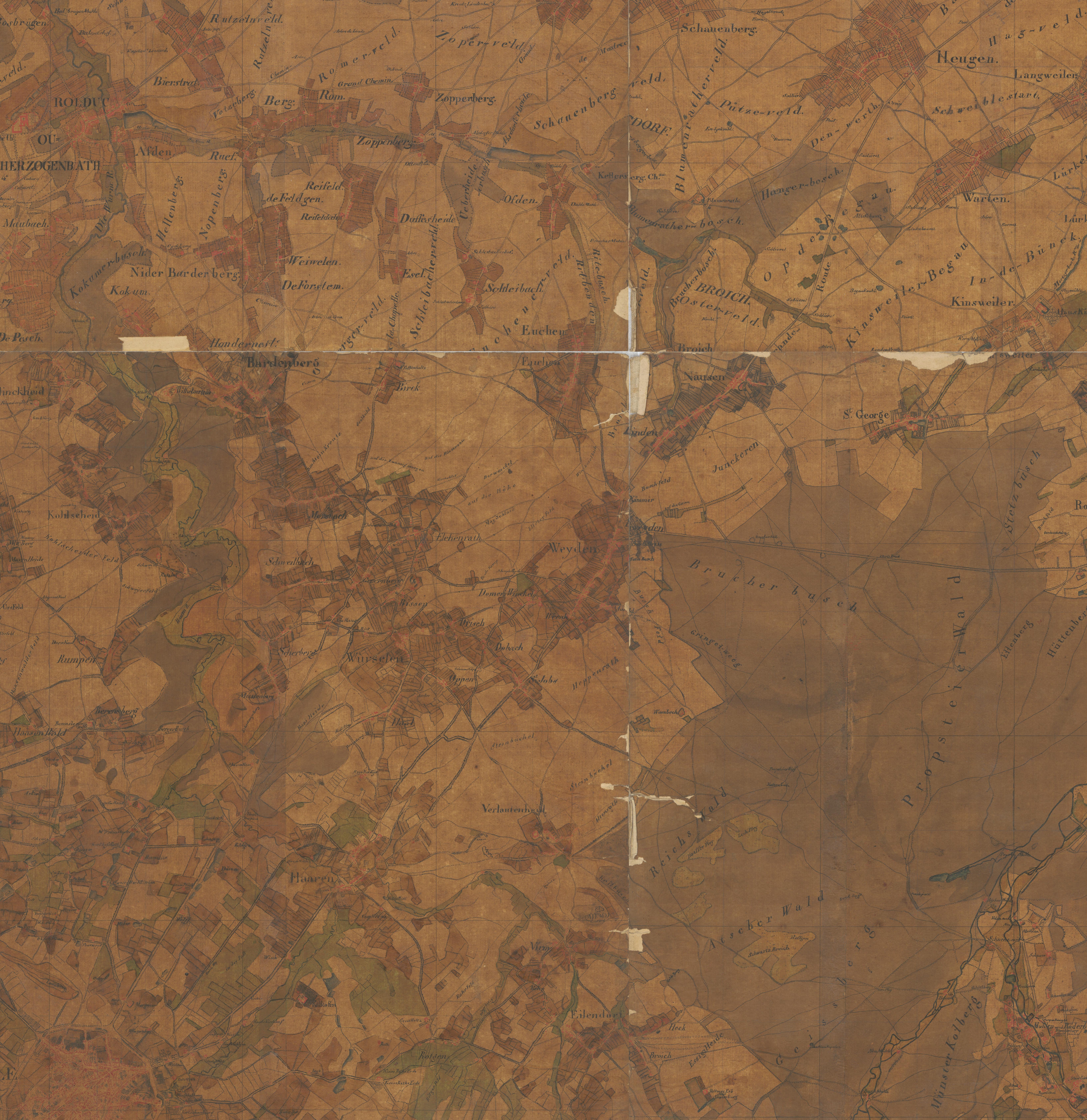
 Tranchot Karte Reproduction 1830
Quelle: Land NRW (2020) Datenlizenz Deutschland -Namensnennung - Version 2.0 (http://www.govdata.de/dl-de/by-2-0)
Reproduction done in 1830 of the Tranchot's map ca. 1830
The map here was compiled from 4 sheets to cover the entire Region of Würselen.
Click to enlarge the map.
Link to the source Landesarchiv.

